Summiting Mount Jacinto: The Perfect Overnight Backpacking Trip
Summiting san jacinto, san jacinto hike, socal six pack of peaks, mr and mrs adventure
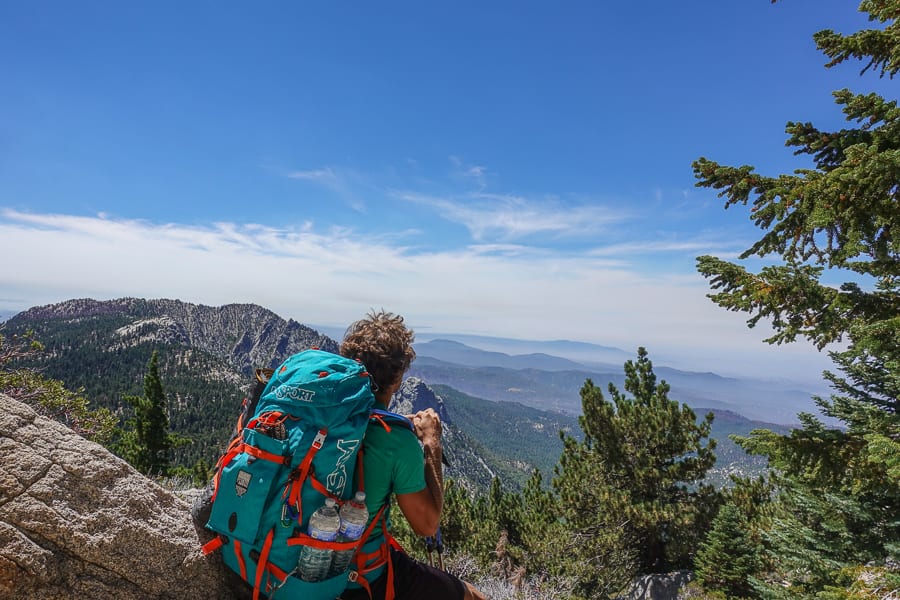
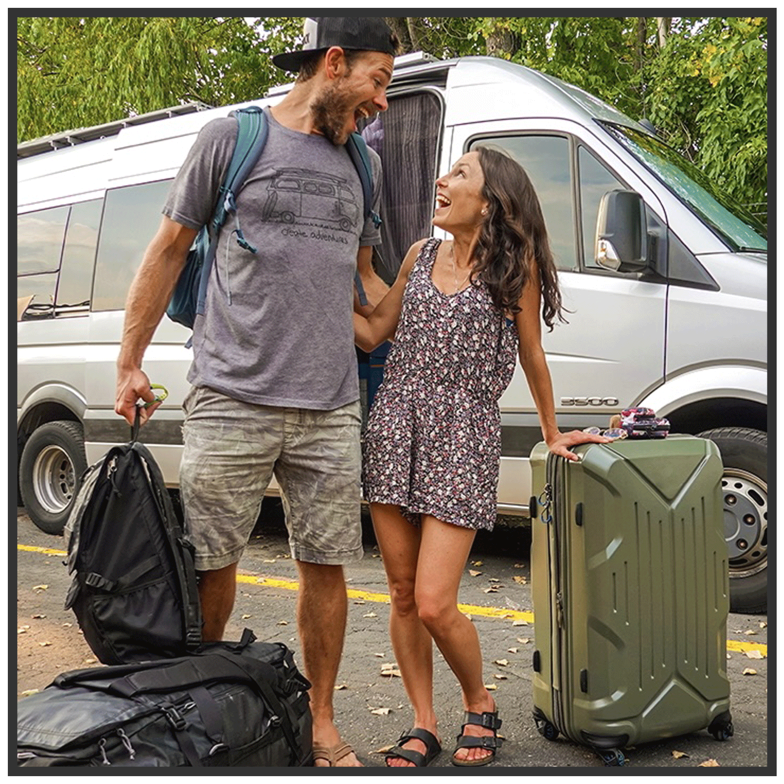
Standing at a mighty 10,834 feet, Mount Jacinto has earned the title of the 2nd highest peak in Southern California. We originally took on the challenge of hiking up "San Jac," as the locals call it, in preparation for summiting Gorgonio, the highest peak in SoCal + Mount Whitney, the highest peak in the contiguous US, on back to back weekends. San Jac was one of our first REAL summit hikes, and we loved the experience so much that we decided to re-do the same hike 5 years later, after returning from nearly 4 years of living the "VanLife" all across the US, Europe, UK, Iceland and Morocco. It was just the place, and peace, we needed after landing in LA:
Summiting san jacinto, san jacinto hike, socal six pack of peaks
The reason we loved the experience on San Jacinto so much was #1. because the first time we did it, we did it with our friends, #2. it’s one of the only hikes where we’ve been able to enjoy sunset + dinner on the summit, #3. night hiking and #4. the next day is a breezy 2 hour (or less) hike back down. No wonder we wanted to relive the magic! Continue reading for details:
san jacinto camping overnight, san jacinto hike trail
On both occasions, we packed as lightly as possible in order to spare our backs on this 19ish mile trek. Essentials included our headlamps, CamelBaks, sleeping bags, Long Johns, sunscreen, sunglasses and of course, food! We got our favorite snacks from Trader Joe’s before arriving to Idyllwild, which we highly recommend as the mountain stores are quite pricey.
hiking food, how to pack for overnight camping trip, mount jacinto
The first time we summited, we awoke in our LA apartment at the crisp and dewy hour of 5am. We poured our coffee, packed the trunk and were on the road by 5:45. It was a 2-hour drive to Idyllwild, and once we arrived, our first stop was the Chevron gas station across from the Village Market (which has everything from hiking snacks + random supplies + deli + coffee, open 7am-10pm daily) to pick up our adventure passes. You must have one ($5) for each day you plan to have your car parked on the street, they are valid from 10am-10am and you can place as many as needed on your dashboard (they’re available to purchase at any gas station in the area).
We then drove up to the Forest Service Ranger Station to get our overnight permit (available 24/7 at the little table outside), they also have day passes if you don't plan to stay the night. Do note that with the overnight pass you must set up camp within the Federal Park boundary (outside the green area in our map below) + 200-feet away from the trail ($159 fine per person), if you want to camp in the State Park check out this site for additional information.
Once we had all our passes in hand, we drove up Fern Valley Road, parked near the Humber Park trailhead and by 10am we had hit the trail! The second time we embarked on this hike, it all was pretty much the same, except we arrived the night before and car camped at Dark Canyon, which was beautiful + we believe this helped us acclimate to the elevation better the next day.
dark canyon campground, san jacinto camping
Summiting san jacinto, san jacinto hike, socal six pack of peaks
On both occasions we enjoyed impeccable weather with cool, crisp breezes off setting the beaming sun. We hiked 2.5 steep miles along Devil's Slide Trail, which took about 2 hours, before arriving to Saddle Junction to take a break. Many people with a day hiking permit will hike to this point for a moderately difficult, 5-mile, introductory hike. After some refueling and rock sitting, we were up and at it again for another mile until we found our perfect camping spot. It's difficult to say exactly where it was, but it was about .25 miles before arriving to Wellman's Divide on the left side of the trail near a big triangular-shaped rock, and the second time around we found another great spot about 5 minutes earlier off the trail to the right.
Drew built our tent while I made our picnic on the rocks and after lunch, we unloaded as much as we could from our packs, taking only the essential layers of clothing (it gets cold at night, especially at the top) + dinner + enough water for our journey to the summit and back. Note: There was nowhere to filter water the 2nd time we did this hike, so we had to carry in all our water for the entire time = 3 gallons = about 8 pounds per gallon = 24 pounds in water alone! We were stoked to be able to leave behind some poundage for our journey to the top.
san jacinto, california hiking
By 2pm we were headed for Wellman's Divide, where we then followed the arrow towards Mount Jacinto Peak, 4 miles. The views the entire way were beautiful, the ferns surprisingly lush and after a dozen switchbacks or so, we arrived to a sign that pointed .3 miles to San Jacinto Peak!
san jacinto hike, socal six pack of peaks
san jacinto hike, best hikes in southern california
At this point, all clear trails were moot. We scrambled our way towards the top, taking the safest and clearest path that our eyes could find. If you take the route that we took (we went up more towards the right) you will pass an old stone cabin. This cabin is free for campers and nomads alike, it has 2 bunk beds, an emergency food + first aid supply and is maintained by none other than those who decide to stay in it. Very Into The Wild.
san jacinto hike, san jacinto mountain cabin
san jacinto hike, san jacinto mountain cabin
As the rocks began to grow larger and the trees fewer, we knew we were nearing our destination. Just a few steps more and there she was, the victory sign that read "Mount Jacinto Peak: Elevation 10,834." We made it... twice! Photos from 2013 and 2018 respectively, below:
san jacinto hike, san jacinto summit, socal six pack of peaks
We were floating with the clouds, above just about anything we could set our sights on, except for Mount San Gorgonio, which peered down on us just a few hundred feet higher in the distance. At this point there was nothing to do but enjoy it, everything about it. We sat together, devoured our dinners and watched the sky change colors as the shadow of the peak grew larger and larger over the glittering lights of Palm Springs below:
san jacinto hike, socal six pack of peaks
san jacinto hike, socal six pack of peaks
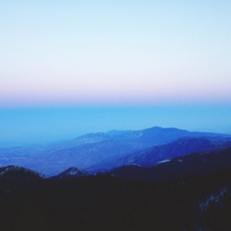
By 8pm the sun had set. We put on all the layers we had in our packs and headed back towards camp. The sky was a beautiful layered canvas of lavenders, pinks, and blues. As the night grew darker we pulled out our headlamps and were aided in our trek home by the light of the incredibly full moon. Two hours later, we were warm and snug back at our basecamp:
san jacinto hike, socal six pack of peaks
That next morning we awoke, semi-rested, ate our breakfast while indulging in the incredible views, and by 9:30 we had packed up and started on the 2-hour trail back down to the world below. San Jacinto, you were even better than we remembered… can’t wait to see you again for round three!
mount jacinto, mr and mrs adventure, devils slide trail, california hikes, summit mount jacinto, mount jacinto peak, mount jacinto panoramic
Pano from 2013 above and 2018 below.
san jacinto hike, socal six pack of peaks


